- Area: 83,871 sq km;
- Population: 9 million;
- Capital: Vienna.
- Borders: Eight countries including Germany, Italy, and Switzerland.
- Flag: One of the world’s oldest.
- Geography: Mountainous, Danube River.
- Known for: Ski resorts, classical music, palaces
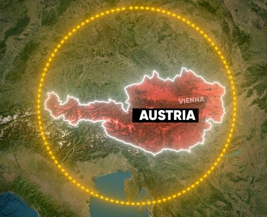
Austria Map and Bordering Countries
This landlocked country is Surrounded by eight countries, with the Czech Republic to the north, Slovakia to the northeast, Hungary to the east, Slovenia to the south, Italy to the southwest, Switzerland and Liechtenstein to the west, and Germany to the northwest.
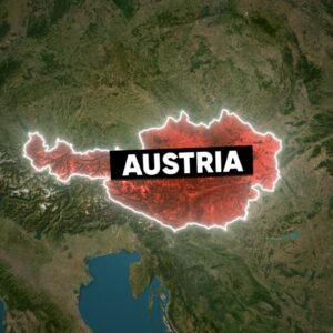
Spanning 83,871 sq km with a population of 9 million, Austria has Vienna as its capital.
The flag of Austria, with a horizontal triband, white sandwiched between reds, has been used since 1230 and it is among the world’s oldest flags.
Geography of Austria
Two-thirds of Austria is mountainous, featuring dramatic peaks, glaciers, and sloping meadows, with the River Danube playing a central role in its cultural life.
History of Austria
The name “Austria” comes from a Latin version of the German word, and it was officially written down for the first time in the 12th century. During that time, the area along the Danube River in Austria, which includes Upper and Lower Austria, was the farthest eastern part of Bavaria.
Interesting Factors About Austria
The country is renowned for its ski resorts, classical music, palaces, and art.
See more
Angola, a big country in Africa
Read more